Perry County, MS
GIS Map
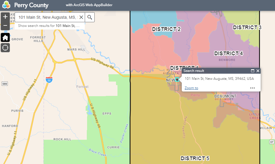
This interactive GIS Map provides information for:
* Supervisor Districts
* Fire Districts
* Voter Precincts
* School Districts
* Flood Zones
* and more
* Supervisor Districts
* Fire Districts
* Voter Precincts
* School Districts
* Flood Zones
* and more
How to use the GIS Map…
Select the Layer List button and check the desired layer from the dropdown list.

Enter your address and click the magnifying glass to search.
")
After your map loads, you can click the Home button to return to the original map view. You can also zoom in/out with the + or – buttons.